Are you excited about a home in Moore but unsure what a property survey really does? You are not alone. Surveys can feel technical, and the stakes are high when you are investing in a home or lot. This guide breaks down the survey types, when you need one, what it costs in Moore, and how survey findings affect title and closing. You will also get a simple checklist to make your next steps clear and stress-free. Let’s dive in.
What a survey confirms
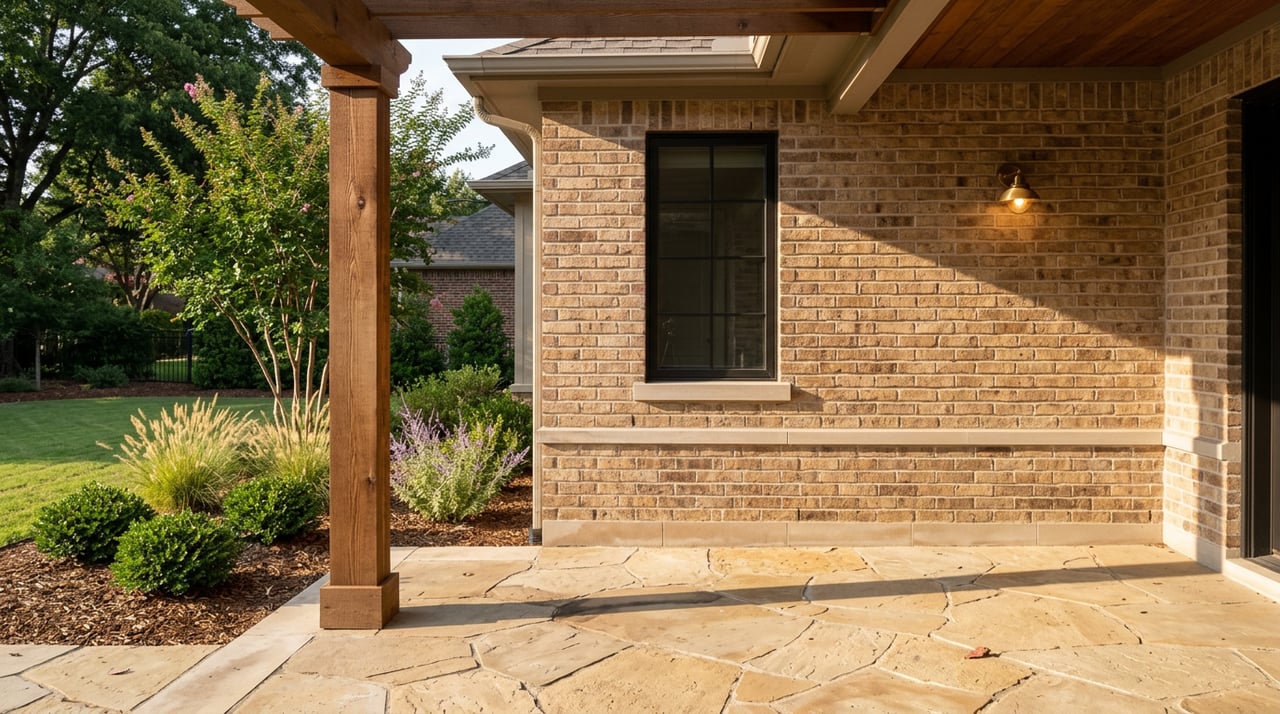
A property survey confirms where your legal boundary lines are and how existing improvements, like a home, driveway, or fence, sit in relation to those lines. The surveyor compares field measurements to recorded documents and plats. If something is off, the survey can reveal encroachments, easements, or access issues that might impact your plans.
In Moore, surveys help you buy with confidence, avoid fence line disputes, and prepare for permits or construction. The right survey type depends on your purpose and your lender’s or title company’s requirements.
Common survey types in Moore
Boundary survey
A boundary survey establishes the legal corners and boundary lines for your parcel. You receive a drawing that ties the boundary to public records and shows visible encroachments. It is the go-to survey for confirming lot lines, resolving neighbor questions, or planning a fence. It may not meet every lender’s or title insurer’s requirements unless the scope is expanded.
ALTA/NSPS land title survey
An ALTA survey follows national standards and is the most comprehensive option. It maps boundaries, improvements, recorded easements and rights-of-way, visible utilities, and notes flood zones if requested. Lenders and title underwriters often rely on ALTA surveys for complex or higher-risk transactions. Expect a higher price point in exchange for more detail and certification.
Improvement Location Certificate (ILC)
An ILC is a simplified check that shows where improvements sit relative to the boundary. It can help with certain permits or quick planning. It is not a full boundary survey and typically does not identify record easements or provide lender-level certification, so it is not suited for boundary disputes or most closings.
Topographic survey
A topographic survey maps contours, grades, drainage, trees, utilities, and other surface features. If you plan to build, add a garage, or manage drainage, you will likely pair a topo with a boundary survey to support site design and permitting.
Construction staking or lot staking
After a boundary or ALTA survey, a surveyor can set temporary stakes to guide a fence, foundation, or addition. Staking helps contractors place structures accurately and avoid encroachments.
Recorded plat of survey
For newly created lots, a subdivision plat shows lot dimensions, easements, and public rights-of-way. In Cleveland County, plats are recorded and become part of the public record, which surveyors use during research.
When you need a survey
Lender requirement
If you are financing, ask your lender what they require. Some lenders accept a current boundary survey that meets their standards. Others ask for an ALTA survey. Your title company may also specify the scope and certification they need.
Title exception or open question
If the title commitment lists exceptions or a title exam raises questions, a survey can clarify where recorded easements and rights-of-way actually lie on the ground. An ALTA survey is often the cleanest way to resolve title concerns tied to location.
Buying a vacant lot in Moore
Order a boundary survey to confirm corners, lines, and access. If you plan to build, add a topographic survey for grading and site design. This combination helps you evaluate setbacks, utilities, and any easements before you invest in plans or permits.
Purchasing a home on an existing lot
If the seller has a recent survey and your lender and title company accept it, you may not need a new one. If not, a current boundary survey helps confirm that fences, sheds, and driveways are inside the property lines and not encroaching on easements.
Planning a fence, addition, or accessory structure
Get a boundary survey first, and ask for staking if you want physical markers. An ILC can be a quick check for certain permits, but it is not a substitute for a full boundary survey when accuracy matters.
Subdivision, lot split, or plat changes
For any subdivision or lot split, a surveyor prepares the plat and records it with Cleveland County. The City of Moore Planning and Development process will also apply for approvals, setbacks, and zoning checks.
Local details Moore buyers should know
- City of Moore Planning and Development regulates zoning, setbacks, and permits. Check setback dimensions for your zoning district before you design improvements.
- Cleveland County offices maintain recorded plats, deeds, and easements used in survey research. A licensed surveyor will pull these records as part of your job.
- Portions of Moore lie within FEMA flood zones. If relevant, your survey can note flood zone status or be paired with an elevation certificate.
Costs and timeline in Moore
Typical cost ranges
- Boundary survey for a residential lot often ranges from about 500 to 2,000 dollars. Smaller subdivision lots are usually at the lower end; acreage or complex histories trend higher.
- ALTA/NSPS survey commonly ranges from 1,500 to 5,000 dollars or more, depending on size, complexity, and lender or title requirements.
- ILC pricing is typically a few hundred dollars up to about 1,000 dollars depending on the provider and site.
- Topographic survey often adds 500 to 2,000 dollars based on acreage and detail level.
- Construction staking is an additional cost that varies by project complexity.
Local note: infill subdivision lots in Moore typically fall toward the lower end of the residential range. Larger tracts around the city fringe or in unincorporated Cleveland County usually cost more.
Typical timeline
- Scheduling is often 1 to 3 weeks depending on surveyor workload.
- Research and field work take 1 to 7 business days for a standard lot.
- Drafting and delivery follow in 3 to 10 business days based on complexity.
- Total time for many residential jobs falls within 2 to 4 weeks, but title questions or complex records can add time.
What can increase cost or time
- Larger or irregular parcels and multi-parcel tracts.
- Heavy vegetation, drainage challenges, or limited access.
- Recovering lost monuments or reconciling inconsistent old records.
- Complex recorded easements or rights-of-way needing deeper research.
- Added deliverables like topo contours or flood elevation certifications.
- Multiple lender or owner certifications on the final drawing.
How to get accurate quotes
- Gather the legal description, parcel ID, recent deed, and any prior survey or recorded plat.
- Ask 2 to 3 local licensed surveyors for written quotes.
- Confirm the price includes field work, drafting, revisions, research of Cleveland County documents, certification to the title company and lender, and whether stakes or monuments are included.
How surveys affect title and closing
A title commitment lists exceptions that the underwriter will not insure against unless removed or endorsed. Surveys can confirm where those recorded easements and rights-of-way are located and whether improvements cross a line.
Common issues and implications
- Recorded easements may limit your buildable area if they cross useful parts of the lot. Title insurance typically excludes enforcement of those easements unless underwritten differently.
- Unrecorded easements or prescriptive access can surface during fieldwork and may create title risk. Underwriters often require resolution before closing.
- Encroachments, such as fences, sheds, or driveways over a boundary or into an easement, may require a boundary agreement, removal, or a title endorsement if available.
- Signs of occupation beyond boundaries can point to potential adverse possession or rights of parties in possession. A survey helps identify the issue, but legal counsel and title underwriting are often needed for resolution.
Title company responses you might see
- Proceeding with recorded easements listed as exceptions if they do not impair use.
- Requesting corrective actions for material encroachments, such as a boundary line agreement, quitclaim deed, removal, or endorsement at extra cost.
- Requiring an updated survey or ALTA survey if the existing one is outdated or lacks detail.
Resolution options
- Negotiate seller repairs or agreements before closing.
- Record a boundary line agreement with a neighbor if all parties consent.
- Seek a release or modification of a recorded easement when appropriate.
- Purchase endorsements or extended coverage if the underwriter offers them.
- Delay closing while defects are resolved to protect your interests.
Buyer protections to request
- An updated survey prior to closing.
- An owner’s title insurance policy.
- A review of title commitment exceptions with your title officer or real estate attorney. Ask what is required to remove or insure over each item.
Buyer prep checklist
Documents to send your surveyor
- Legal description and recorded deed.
- Parcel ID from the Cleveland County Assessor.
- Any prior surveys, plats, or title policy pages you or the seller have.
- Copies of recorded easements, covenants, or HOA rules if applicable.
- Site access instructions and occupant contact information.
Smart questions to ask
- Are you licensed in Oklahoma and do you carry professional liability insurance?
- Which survey type fits my purpose and lender or title needs?
- Does your price include Cleveland County records research and monument recovery?
- Will you certify to my title company and lender, and how many revisions are included?
- What is the expected timeline, and what could delay delivery?
- Do you set permanent monuments or temporary stakes, and is that included?
On-site prep before fieldwork
- Confirm access with the seller or occupant and provide written permission if needed.
- Point out any visible concerns like old fence lines or recent landscaping.
- Avoid moving markers or digging. For future digging, call 811 to locate utilities.
Moore-specific checks
- Verify City of Moore zoning and setback requirements before you design a fence or addition.
- Review the recorded subdivision plat for existing utility or drainage easements.
- Check FEMA flood maps for zone status, especially for new construction or additions.
- Review any HOA architectural guidelines if the property is in a subdivision.
What to do if a problem pops up
If your survey reveals an encroachment or a conflicting easement, do not panic. First, talk with your agent and title officer about how serious the issue is for your planned use. Next, explore solutions like a boundary agreement, minor relocation of a fence or shed, or a targeted title endorsement if the underwriter allows it. In many cases, the seller can address the issue or offer a credit so you can resolve it after closing.
Keep in mind that timing matters. If you order your survey early, you give yourself room to negotiate solutions and keep your closing on track.
Local know-how matters
Moore and Cleveland County have their own standards, recorded plats, and flood considerations. A local, licensed surveyor who knows these records can save you time and reduce risk. If you are planning a fence, buying a lot, or your lender is asking questions, start the survey conversation early. For trusted, local surveyor referrals and guidance on how a survey fits into your purchase, reach out to the team at Legacy Real Estate Group. We are here to help you move forward with confidence.
FAQs
Moore homebuyers: do I need a new survey if the seller has one?
- Possibly. Check the age and whether your lender and title company accept it. Older surveys may not reflect current conditions or recorded changes.
How long does a typical Moore residential survey take?
- Many residential surveys finish in about 2 to 4 weeks from scheduling to delivery, depending on workload, complexity, and drafting time.
What does a boundary survey cost in Moore?
- A typical residential boundary survey often ranges from about 500 to 2,000 dollars, with small subdivision lots on the lower end and acreage on the higher end.
What if my survey shows a fence or driveway encroachment?
- Title may require a boundary agreement, removal, or a specific endorsement. Your agent and title officer can help you negotiate a remedy before closing.
Is an ILC enough for a fence or addition?
- An ILC can help with certain permits, but a boundary survey with staking is the safer choice for construction or when accuracy is critical.
What is an ALTA survey and when would I need one?
- An ALTA survey is a comprehensive mapping that meets lender and title standards. It is often requested for complex residential or commercial loans.
Who usually pays for the survey in Oklahoma home purchases?
- It is negotiable. Buyers often pay for lender-required surveys, and sellers may contribute or resolve issues that the survey reveals.